


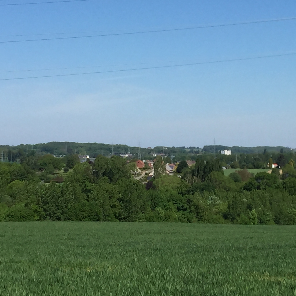
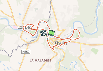
6530-03-Thuin-8,2km-193m
Nordic Sambre (énéoSport)
Tout seul, on va plus vite. Ensemble, on va plus loin !


--
Difficulty : Very easy

FREE GPS app for hiking
 SityTrail
IGN / Geographical institutes
SityTrail Plus
The world is yours!
About
Trail Nordic walking of 8.2 km to be discovered at Wallonia, Hainaut, Thuin. This trail is proposed by Nordic Sambre (énéoSport).
Description
Enéosport - Cercle Nordic Sambre (ESNS)
Randonnée préparée par Alain Damay.
Départ/arrivée : Musée du Tram, rue du Fosteau, Thuin
Positioning
Comments