


forêt des loisirs Fleurus

Eric Vandenberg
User
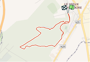

Length
4.1 km

Max alt
183 m

Uphill gradient
43 m
Km-Effort
4.7 km

Min alt
162 m

Downhill gradient
44 m
Boucle
Yes
Creation date :
2021-02-12 10:18:05.24
Updated on :
2021-02-12 11:14:04.769
55m
Difficulty : Very easy

FREE GPS app for hiking
 SityTrail
IGN / Geographical institutes
SityTrail Plus
The world is yours!
About
Trail Walking of 4.1 km to be discovered at Wallonia, Hainaut, Fleurus. This trail is proposed by Eric Vandenberg.
Description
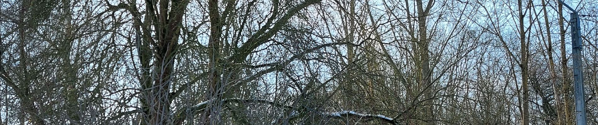
promenade a travers bois
Photos

Positioning
Country:
Belgium
Region :
Wallonia
Department/Province :
Hainaut
Municipality :
Fleurus
Location:
Fleurus
Start:(Dec)
Start:(UTM)
608175 ; 5590580 (31U) N.
Comments