


Giverny

Fky78
User
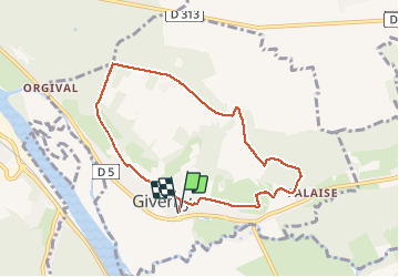

Length
7.2 km

Max alt
141 m

Uphill gradient
149 m
Km-Effort
9.2 km

Min alt
19 m

Downhill gradient
150 m
Boucle
Yes
Creation date :
2021-02-12 13:37:37.6
Updated on :
2021-02-12 18:34:19.319
1h59
Difficulty : Easy
--
Difficulty : Easy

FREE GPS app for hiking
 SityTrail
IGN / Geographical institutes
SityTrail Plus
The world is yours!
About
Trail Walking of 7.2 km to be discovered at Normandy, Eure, Giverny. This trail is proposed by Fky78.
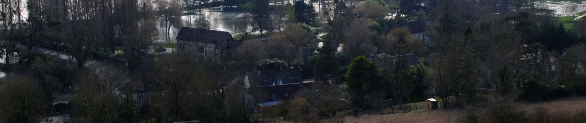
Photos

Positioning
Country:
France
Region :
Normandy
Department/Province :
Eure
Municipality :
Giverny
Location:
Unknown
Start:(Dec)
Start:(UTM)
392661 ; 5436881 (31U) N.
Comments