


les roussettes

amiral13
User GUIDE


Length
6.5 km

Max alt
286 m

Uphill gradient
104 m
Km-Effort
7.8 km

Min alt
194 m

Downhill gradient
105 m
Boucle
Yes
Creation date :
2021-02-13 12:55:04.576
Updated on :
2021-02-13 14:33:47.762
1h38
Difficulty : Very easy

FREE GPS app for hiking
 SityTrail
IGN / Geographical institutes
SityTrail Plus
The world is yours!
About
Trail Walking of 6.5 km to be discovered at Provence-Alpes-Côte d'Azur, Bouches-du-Rhône, Châteauneuf-le-Rouge. This trail is proposed by amiral13.
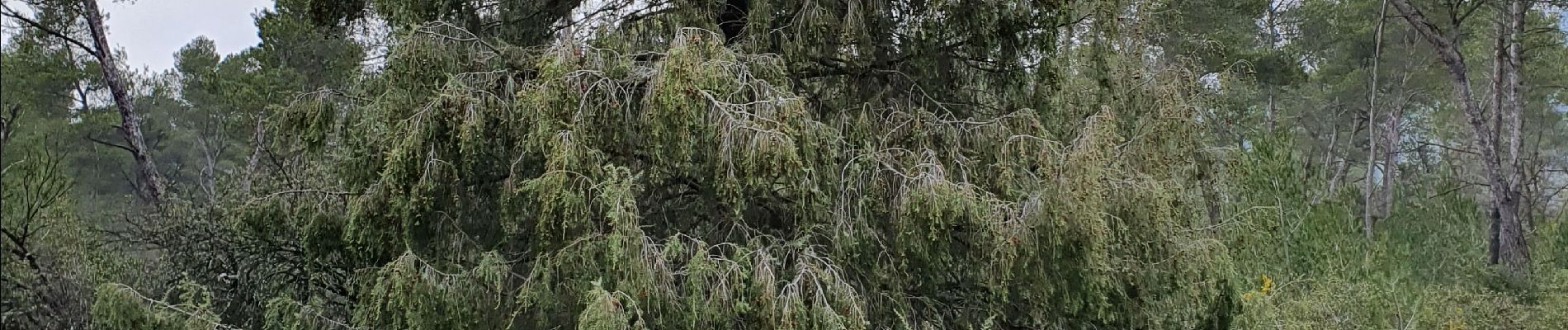
Photos

Positioning
Country:
France
Region :
Provence-Alpes-Côte d'Azur
Department/Province :
Bouches-du-Rhône
Municipality :
Châteauneuf-le-Rouge
Location:
Unknown
Start:(Dec)
Start:(UTM)
706784 ; 4819122 (31T) N.
Comments