


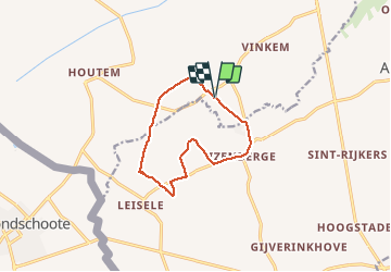

9.1 km | 9.5 km-effort

User


FREE GPS app for hiking
 SityTrail
IGN / Geographical institutes
SityTrail World
The world is yours!
Trail Walking of 9.5 km to be discovered at Flanders, West Flanders, Veurne. This trail is proposed by natacha.brion69.
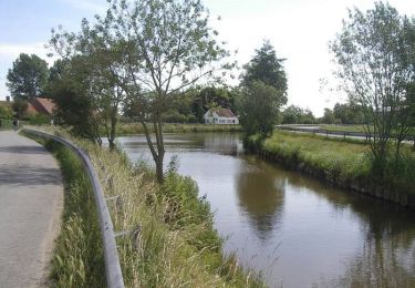
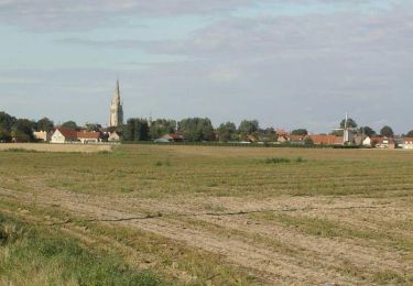
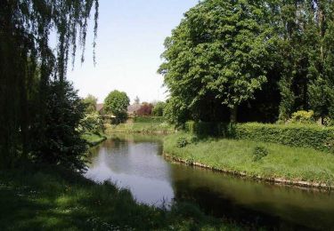
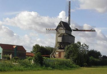
Le plat pays par champs et villages


On foot
Cycle

Cycle

Mountain bike
Cycle

Mountain bike
Walking
Walking
Cycle