


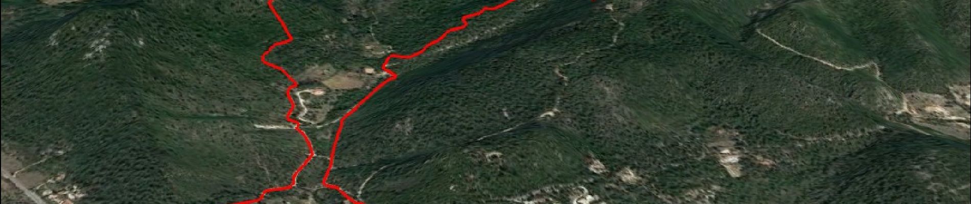
10844300-chapelle st andre ,grotte 400 moutons source oris

affinetataille
User GUIDE

Length
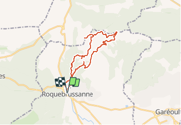
14.9 km

Max alt
812 m

Uphill gradient
599 m
Km-Effort
23 km

Min alt
366 m

Downhill gradient
599 m
Boucle
Yes
Creation date :
2021-02-15 09:10:33.544
Updated on :
2021-02-18 00:22:05.44
6h00
Difficulty : Difficult

FREE GPS app for hiking
 SityTrail
IGN / Geographical institutes
SityTrail Plus
The world is yours!
About
Trail Walking of 14.9 km to be discovered at Provence-Alpes-Côte d'Azur, Var, La Roquebrussanne. This trail is proposed by affinetataille.
Photos


29 photos in total. Please click on a photo to see them all in the gallery.
Positioning
Country:
France
Region :
Provence-Alpes-Côte d'Azur
Department/Province :
Var
Municipality :
La Roquebrussanne
Location:
Unknown
Start:(Dec)
Start:(UTM)
741271 ; 4802743 (31T) N.
Comments