


Bercenay

FPortier
User
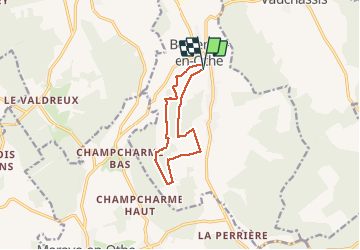

Length
9.2 km

Max alt
270 m

Uphill gradient
225 m
Km-Effort
12.2 km

Min alt
180 m

Downhill gradient
223 m
Boucle
Yes
Creation date :
2021-02-16 07:44:34.833
Updated on :
2021-02-16 10:21:10.036
2h24
Difficulty : Medium

FREE GPS app for hiking
 SityTrail
IGN / Geographical institutes
SityTrail Plus
The world is yours!
About
Trail Walking of 9.2 km to be discovered at Grand Est, Aube, Bercenay-en-Othe. This trail is proposed by FPortier.
Description
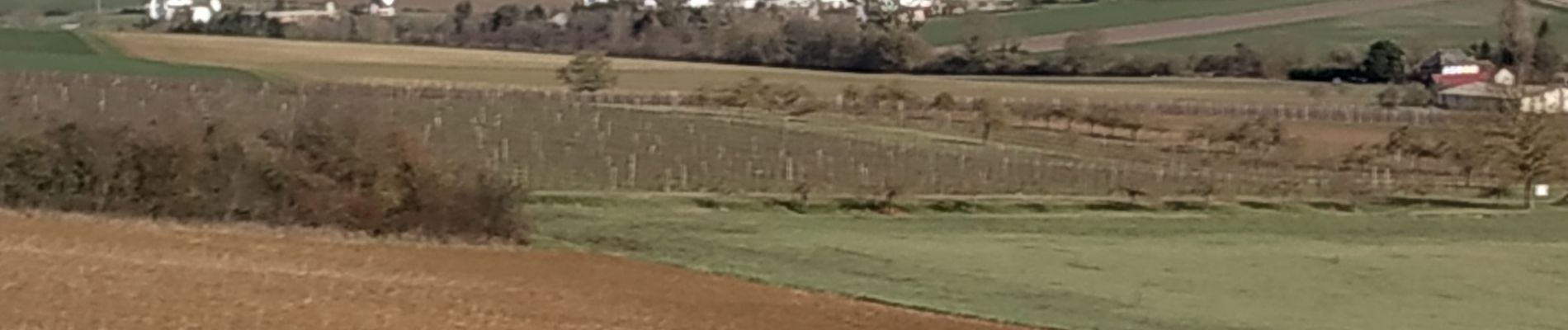
Campagne forêt
Photos


Positioning
Country:
France
Region :
Grand Est
Department/Province :
Aube
Municipality :
Bercenay-en-Othe
Location:
Unknown
Start:(Dec)
Start:(UTM)
566340 ; 5339427 (31U) N.
Comments