Trail Walking Büllingen - Vallée de la Schwalme - Photo

Vallée de la Schwalme

 beautrix
beautrix

User

© OpenStreetMap contributors
Length
Length
12.8 km
Max alt
Max alt
624 m
Uphill gradient
Uphill gradient
230 m
Km-Effort
Km-Effort  
15.9 km
Min alt
Min alt
520 m
Downhill gradient
Downhill gradient
230 m
Boucle
Boucle
Yes
Creation date :
2021-02-18 08:58:25.781
Updated on :
2021-05-17 13:06:40.272

(0 Reviews)

Walking
Walking
4h13
Difficulty : Very easy

Scan this QR Code to open this trail in the SityTrail application

FREE GPS app for hiking

Logo SityTrail SityTrail

IGN / Geographical institutes

Download SityTrail from the App Store Download SityTrail from Google Play

Logo SityTrail SityTrail World

The world is yours!

Download SityTrail from the App Store Download SityTrail from Google Play Download SityTrail on Huawei AppGallery

About

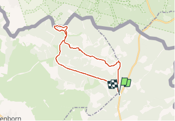
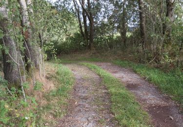
Trail Walking of 12.8 km to be discovered at Wallonia, Liège, Büllingen. This trail is proposed by beautrix.

Description

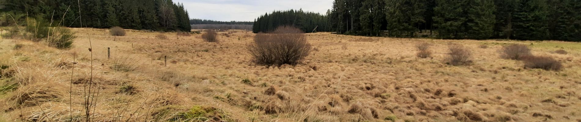
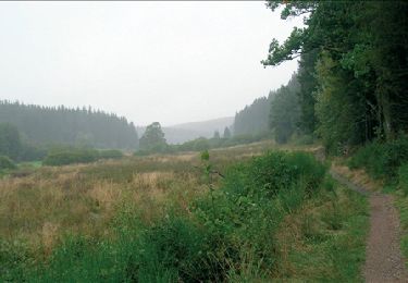
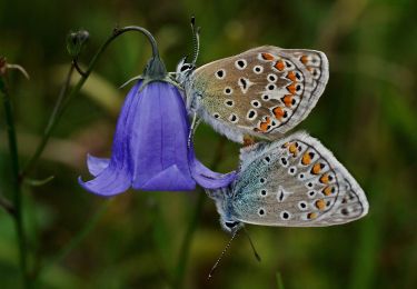
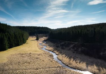
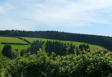
Un parcours tout au fond la Belgique pour découvrir l'extraordinaire vallée de la Schwalme, d'une beauté sauvage inouïe.

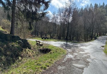
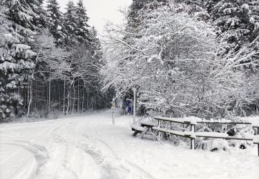
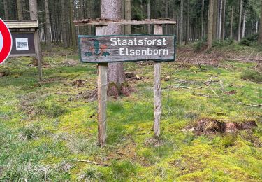
Attention, en bordure du camp militaire d'Elsenborn, certains jours ne sont pas accessibles : bien lire les panneaux à l'entrée du bois.

Elevation profile

Photos

Positioning

Country:
Belgium
Region :
Wallonia
Department/Province :
Liège
Municipality :
Büllingen
Location:
Rocherath
Start:(UTM)
308499 ; 5594245 (32U) N.

Trails nearby

Trail Walking Büllingen - RB-LG-07 - Entre Warche et Holzwarche - Photo
Walking
PRO

Walking

Medium
(7)
Büllingen, Wallonia, Liège, Belgium
21 km | 26 km-effort
5h 33min
Yes
Trail Walking Monschau - Rando Eifel des jonquilles narcisses 18,3 - Photo
Walking
GUIDE
rvapeldo

Walking

Medium
Monschau, North Rhine-Westphalia, Städteregion Aachen, Germany
18.6 km | 23 km-effort
4h 57min
Yes
Trail On foot Büllingen - Rund um den See - Photo
On foot
PRO

On foot

Easy
Büllingen, Wallonia, Liège, Belgium
10.2 km | 12.2 km-effort
2h 45min
Yes
Trail Walking Büllingen - Rocher du Bieley   - Photo
Walking
GUIDE+

Walking

Difficult
(7)
Büllingen, Wallonia, Liège, Belgium
12.3 km | 15.5 km-effort
3h 30min
Yes
Trail Walking Büllingen - La vallée perdue - Rocherath  - Photo
Walking
GUIDE+

Walking

Medium
(2)
Büllingen, Wallonia, Liège, Belgium
7.6 km | 9.5 km-effort
2h 18min
Yes
Trail On foot Büllingen - GrWandArd6: Rocherath:het hoogste dorp van Belgie (PVDB) - Photo
On foot
GUIDE
Peter.vdbergh

On foot

Medium
Büllingen, Wallonia, Liège, Belgium
7.5 km | 9.2 km-effort
2h 6min
Yes
Trail Walking Büllingen - GR56 - Krinkelt-Rocherath – vallée du Jansbach – vallée de la Holzwarche – Mürringen – Krinkelt - Photo
Walking
Thierry0032

Walking

Medium
Büllingen, Wallonia, Liège, Belgium
21 km | 25 km-effort
5h 10min
Yes
Trail Walking Büllingen - Rocherath (Rocher de Bieley) 12 Km - Photo
Walking
Efr

Walking

Difficult
Büllingen, Wallonia, Liège, Belgium
12.1 km | 15.1 km-effort
3h 25min
Yes
Trail Walking Bütgenbach - Lac Butenbach petite boucle sur une rive - Photo
Walking
Wanderpepen Béatrice

Walking

Easy
Bütgenbach, Wallonia, Liège, Belgium
4.9 km | 5.9 km-effort
1h 39min
No


Close
My subscriptions