


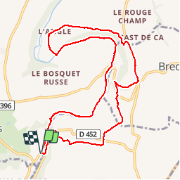

10.9 km | 13.4 km-effort

User


FREE GPS app for hiking
 SityTrail
IGN / Geographical institutes
SityTrail World
The world is yours!
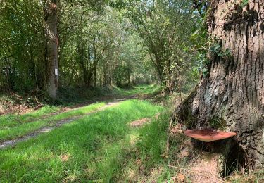
Trail Walking of 11.1 km to be discovered at Normandy, Manche, Condé-sur-Vire. This trail is proposed by phi14.
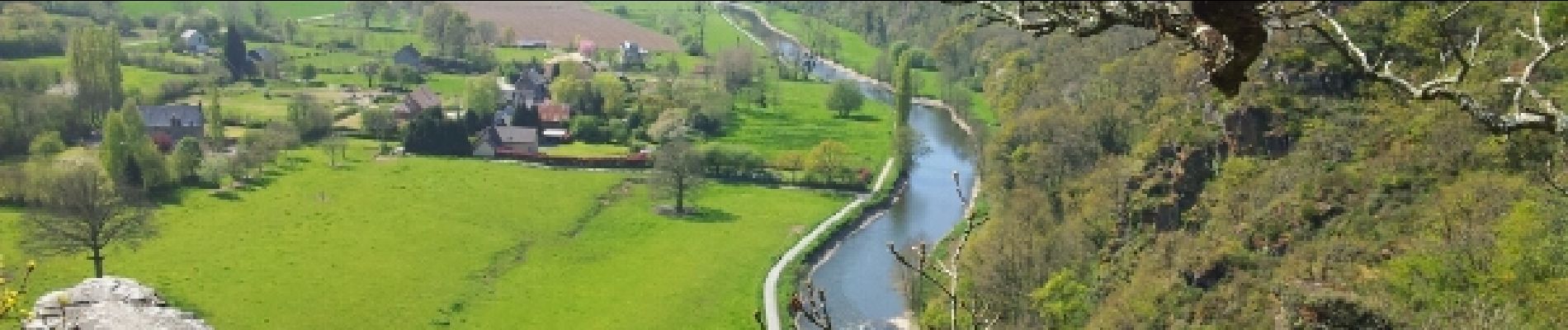
Aire de pique-nique très agréable à la Chapelle sur Vire.


Walking
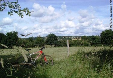
Mountain bike
Walking

Walking

Mountain bike

Walking

Walking

Mountain bike

Walking
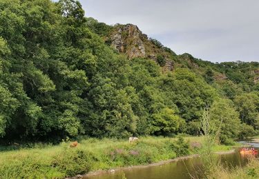
sympa. à découvrir avec une pause crêpes a mi parcours