


Lacs Nère

mitch1952
User
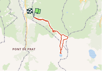

Length
13.4 km

Max alt
2452 m

Uphill gradient
1184 m
Km-Effort
29 km

Min alt
1282 m

Downhill gradient
1186 m
Boucle
Yes
Creation date :
2021-02-20 16:21:00.088
Updated on :
2022-06-08 09:23:50.387
6h37
Difficulty : Very difficult

FREE GPS app for hiking
 SityTrail
IGN / Geographical institutes
SityTrail Plus
The world is yours!
About
Trail Walking of 13.4 km to be discovered at Occitania, Hautespyrenees, Germ. This trail is proposed by mitch1952.
Positioning
Country:
France
Region :
Occitania
Department/Province :
Hautespyrenees
Municipality :
Germ
Location:
Unknown
Start:(Dec)
Start:(UTM)
289033 ; 4738833 (31T) N.
Comments