


Le Sanctus

mitch1952
User
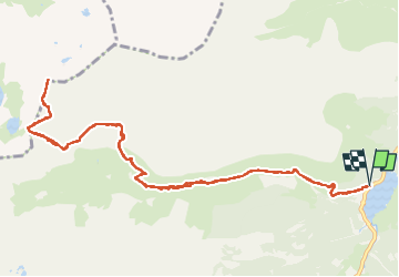

Length
14.3 km

Max alt
2466 m

Uphill gradient
1233 m
Km-Effort
31 km

Min alt
1223 m

Downhill gradient
1237 m
Boucle
Yes
Creation date :
2021-02-20 16:34:57.734
Updated on :
2022-06-08 09:18:17.268
6h58
Difficulty : Very difficult

FREE GPS app for hiking
 SityTrail
IGN / Geographical institutes
SityTrail Plus
The world is yours!
About
Trail Walking of 14.3 km to be discovered at Occitania, Hautespyrenees, Arrens-Marsous. This trail is proposed by mitch1952.
Positioning
Country:
France
Region :
Occitania
Department/Province :
Hautespyrenees
Municipality :
Arrens-Marsous
Location:
Unknown
Start:(Dec)
Start:(UTM)
723806 ; 4754992 (30T) N.
Comments