


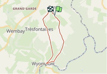


9.1 km | 11.7 km-effort

User GUIDE


FREE GPS app for hiking
 SityTrail
IGN / Geographical institutes
SityTrail World
The world is yours!
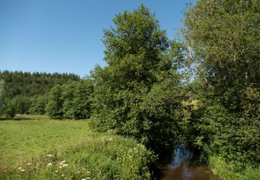
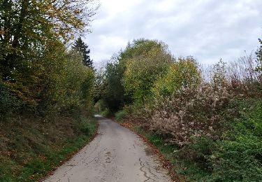
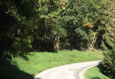
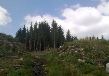
Trail On foot of 5.3 km to be discovered at Wallonia, Luxembourg, Tenneville. This trail is proposed by DUPONT Rita.
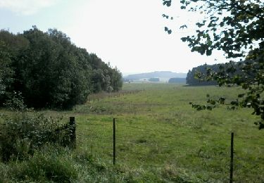
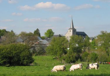
Le circuit de la ferme des Frênes reconnaissable par la balise rouge vous propose une balade de 5,3km au départ du village de Cens.
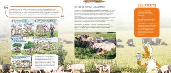
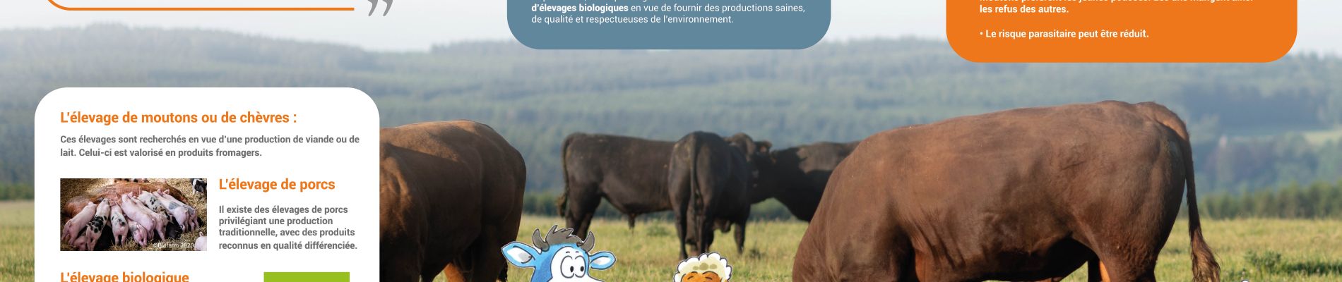
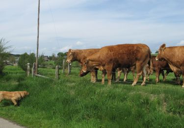
Elevage biologique de boeufs Angus et de porcs Sattelschein.
Au départ/arrivée de cette promenade vous avez la possibilité d'acheter les produits bio de la ferme BIOFARM, ainsi qu'une épicerie. Ouvert le vendredi et samedi. www.biofarm.be


Walking
Walking
Walking
On foot
On foot
On foot
On foot
On foot
On foot