


118 km | 147 km-effort

User


FREE GPS app for hiking
 SityTrail
IGN / Geographical institutes
SityTrail World
The world is yours!
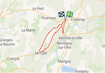
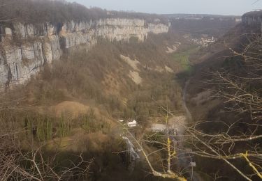
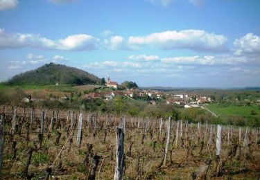
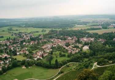
Trail Walking of 21 km to be discovered at Bourgogne-Franche-Comté, Jura, Crotenay. This trail is proposed by TRIMAILLE.
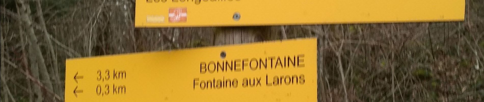
 22 fév 2021 CAF - Photo 1")
 22 fév 2021 CAF - Photo 2")
 22 fév 2021 CAF - Photo 3")
 22 fév 2021 CAF - Photo 4")
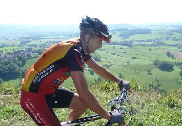
Mountain bike
Horseback riding
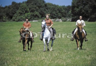
Equestrian

Mountain bike

Walking

Equestrian
Mountain bike

Walking
Equestrian
Belle rando