


les auberts

ymobernard
User
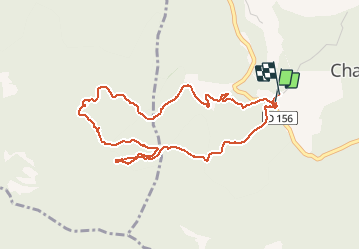

Length
4.9 km

Max alt
867 m

Uphill gradient
245 m
Km-Effort
8.2 km

Min alt
638 m

Downhill gradient
246 m
Boucle
Yes
Creation date :
2021-02-24 13:05:04.895
Updated on :
2021-02-24 16:13:23.799
1h44
Difficulty : Easy

FREE GPS app for hiking
 SityTrail
IGN / Geographical institutes
SityTrail Plus
The world is yours!
About
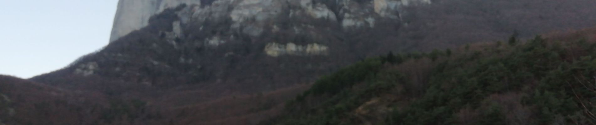
Trail Walking of 4.9 km to be discovered at Auvergne-Rhône-Alpes, Drôme, Chastel-Arnaud. This trail is proposed by ymobernard.
Photos

Positioning
Country:
France
Region :
Auvergne-Rhône-Alpes
Department/Province :
Drôme
Municipality :
Chastel-Arnaud
Location:
Unknown
Start:(Dec)
Start:(UTM)
673682 ; 4947850 (31T) N.
Comments