


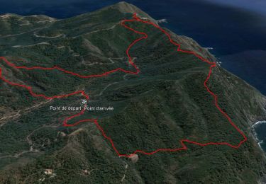
8.2 km | 10.7 km-effort

User GUIDE


FREE GPS app for hiking
 SityTrail
IGN / Geographical institutes
SityTrail World
The world is yours!
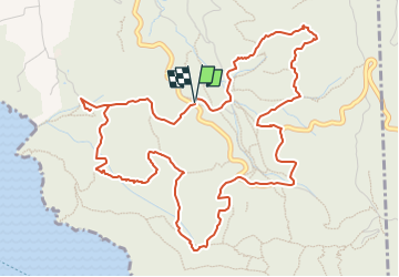
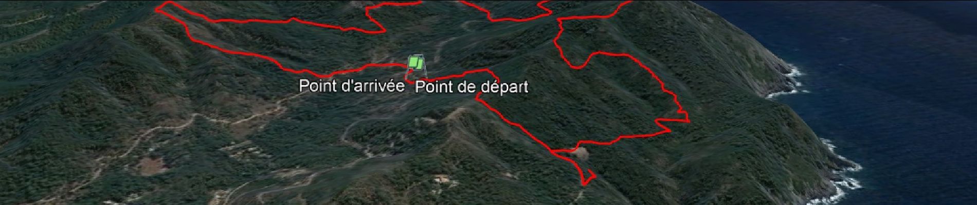
Trail Walking of 7.3 km to be discovered at Provence-Alpes-Côte d'Azur, Var, Six-Fours-les-Plages. This trail is proposed by affinetataille.
Boucle dans les vallons du Cap Sicié.


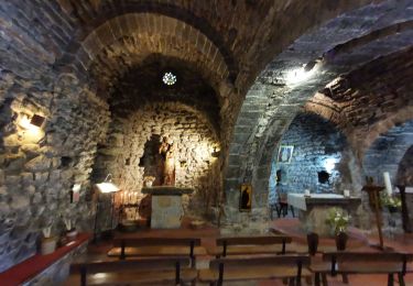
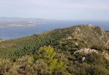
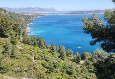
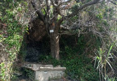
27 photos in total. Please click on a photo to see them all in the gallery.
Walking

Walking
Walking
Walking

Mountain bike
Walking

Walking
Walking
Walking