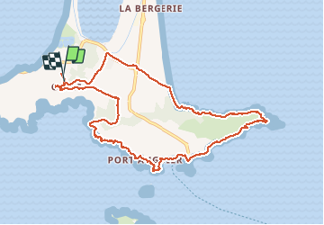
Presqu'île de Giens Est-26-02-21

Christiancordin
User


4h29
Difficulty : Medium

FREE GPS app for hiking
 SityTrail
IGN / Geographical institutes
SityTrail Plus
The world is yours!
About
Trail Walking of 11.4 km to be discovered at Provence-Alpes-Côte d'Azur, Var, Hyères. This trail is proposed by Christiancordin.
Description
Giens-table d'orientation-pointe de la vignette-port Augier-îles du grand et petit Ribaud-tour fondue-pointe du Bouvet- écueil du Gabian-cap de l'Estérel-pointe de la Badine-plage de la Baume-Giens.
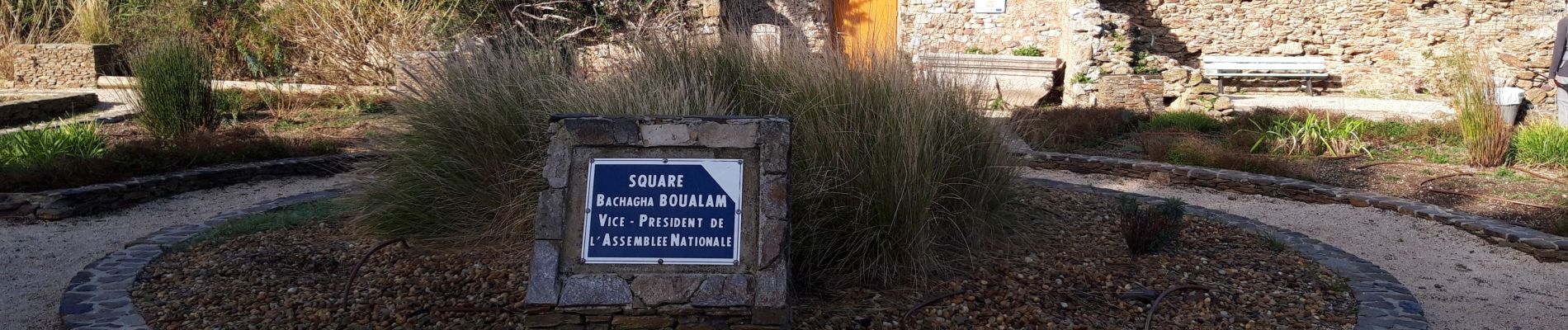
Photos


Positioning
Comments