


Tzeuzier-Widhorn

lroux
User
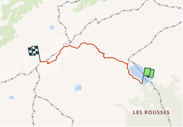

Length
7.7 km

Max alt
3207 m

Uphill gradient
1449 m
Km-Effort
22 km

Min alt
1758 m

Downhill gradient
29 m
Boucle
No
Creation date :
2014-12-11 00:00:00.0
Updated on :
2014-12-11 00:00:00.0
5h22
Difficulty : Unknown

FREE GPS app for hiking
 SityTrail
IGN / Geographical institutes
SityTrail Plus
The world is yours!
About
Trail Walking of 7.7 km to be discovered at Valais/Wallis, Hérens, Ayent. This trail is proposed by lroux.
Positioning
Country:
Switzerland
Region :
Valais/Wallis
Department/Province :
Hérens
Municipality :
Ayent
Location:
Unknown
Start:(Dec)
Start:(UTM)
379266 ; 5133693 (32T) N.
Comments