


Chemin de St-Guilhelm - étape 02 : Nasbinals - St-Chély d'Aubrac

cathel11
User
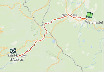

Length
20 km

Max alt
1369 m

Uphill gradient
370 m
Km-Effort
26 km

Min alt
816 m

Downhill gradient
707 m
Boucle
No
Creation date :
2021-02-26 19:03:29.71
Updated on :
2022-01-16 19:30:58.155
6h01
Difficulty : Very difficult

FREE GPS app for hiking
 SityTrail
IGN / Geographical institutes
SityTrail Plus
The world is yours!
About
Trail Walking of 20 km to be discovered at Occitania, Lozère, Nasbinals. This trail is proposed by cathel11.
Positioning
Country:
France
Region :
Occitania
Department/Province :
Lozère
Municipality :
Nasbinals
Location:
Unknown
Start:(Dec)
Start:(UTM)
506765 ; 4944244 (31T) N.
Comments