


SAINTE COLOMBE . 05 . Pas de Sainte Colombe o m s

RobinMicheline
User GUIDE
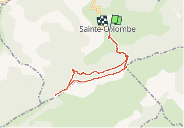

Length
8 km

Max alt
1305 m

Uphill gradient
404 m
Km-Effort
13.3 km

Min alt
940 m

Downhill gradient
404 m
Boucle
Yes
Creation date :
2021-02-27 08:29:42.976
Updated on :
2021-02-27 16:45:03.015
2h56
Difficulty : Medium

FREE GPS app for hiking
 SityTrail
IGN / Geographical institutes
SityTrail Plus
The world is yours!
About
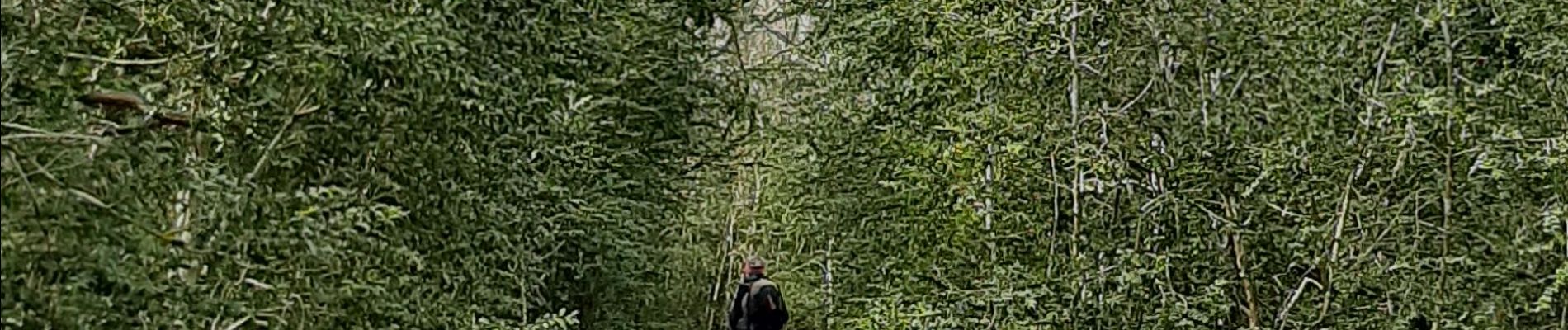
Trail Walking of 8 km to be discovered at Provence-Alpes-Côte d'Azur, Hautes-Alpes, Sainte-Colombe. This trail is proposed by RobinMicheline.
Photos


Positioning
Country:
France
Region :
Provence-Alpes-Côte d'Azur
Department/Province :
Hautes-Alpes
Municipality :
Sainte-Colombe
Location:
Unknown
Start:(Dec)
Start:(UTM)
712983 ; 4906921 (31T) N.
Comments