


morne langevin

funkady
User
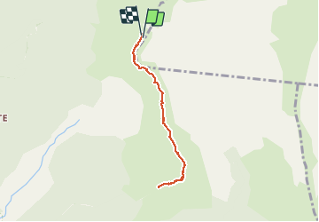

Length
9.1 km

Max alt
2410 m

Uphill gradient
260 m
Km-Effort
12.5 km

Min alt
2305 m

Downhill gradient
262 m
Boucle
Yes
Creation date :
2021-02-27 14:52:24.032
Updated on :
2021-02-27 14:54:42.901
8m
Difficulty : Easy

FREE GPS app for hiking
 SityTrail
IGN / Geographical institutes
SityTrail Plus
The world is yours!
About
Trail Walking of 9.1 km to be discovered at Réunion, Unknown, Saint-Joseph. This trail is proposed by funkady.
Positioning
Country:
France
Region :
Réunion
Department/Province :
Unknown
Municipality :
Saint-Joseph
Location:
Unknown
Start:(Dec)
Start:(UTM)
359757 ; 7651610 (40K) S.
Comments