


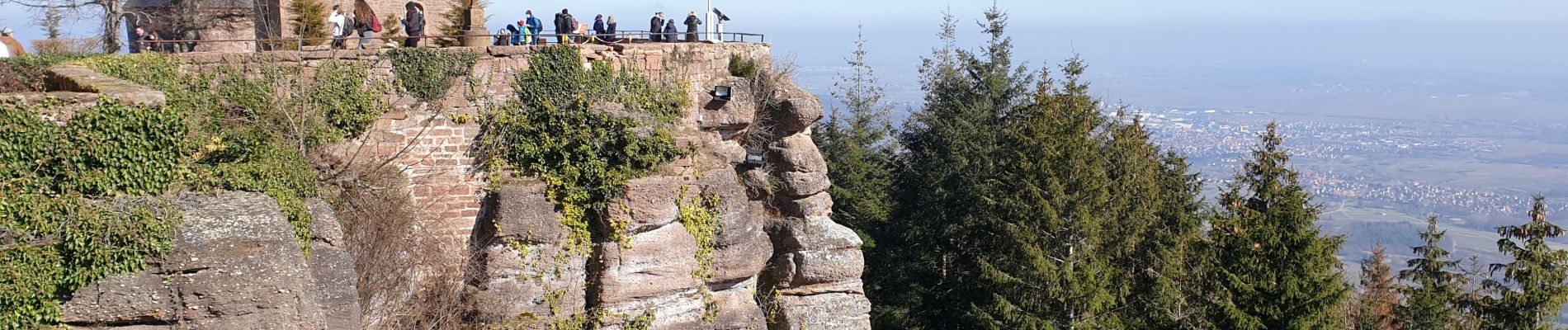
Mont Sainte-Odile - Tour du mur Païen

VacheKiri67
User


Length
10.2 km

Max alt
831 m

Uphill gradient
292 m
Km-Effort
14.1 km

Min alt
584 m

Downhill gradient
301 m
Boucle
Yes
Creation date :
2021-02-28 09:50:42.332
Updated on :
2021-03-07 16:59:54.669
3h11
Difficulty : Easy

FREE GPS app for hiking
 SityTrail
IGN / Geographical institutes
SityTrail Plus
The world is yours!
About
Trail Walking of 10.2 km to be discovered at Grand Est, Bas-Rhin, Ottrott. This trail is proposed by VacheKiri67.
Description
Faite le 28/02/2021. Tour du mur Païen Sud puis Nord. Balisage : chevalet jaune.
Photos


Positioning
Country:
France
Region :
Grand Est
Department/Province :
Bas-Rhin
Municipality :
Ottrott
Location:
Unknown
Start:(Dec)
Start:(UTM)
381661 ; 5365624 (32U) N.
Comments
Superbe randonnée 100% boisée.