


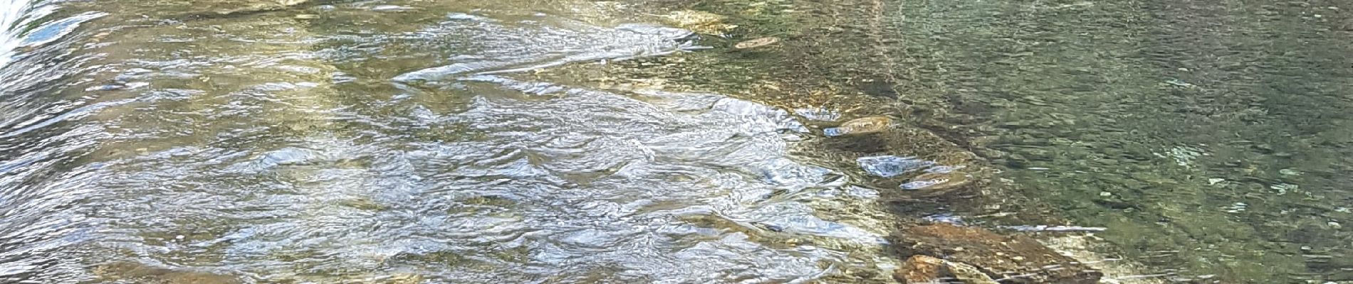
st Jean de bourges, la source du bueges.

jeanfcd
User
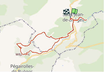

Length
11.1 km

Max alt
328 m

Uphill gradient
245 m
Km-Effort
14.4 km

Min alt
153 m

Downhill gradient
245 m
Boucle
Yes
Creation date :
2021-02-28 10:08:45.391
Updated on :
2021-02-28 14:27:39.653
3h14
Difficulty : Easy

FREE GPS app for hiking
 SityTrail
IGN / Geographical institutes
SityTrail Plus
The world is yours!
About
Trail Walking of 11.1 km to be discovered at Occitania, Hérault, Saint-Jean-de-Buèges. This trail is proposed by jeanfcd.
Photos


Positioning
Country:
France
Region :
Occitania
Department/Province :
Hérault
Municipality :
Saint-Jean-de-Buèges
Location:
Unknown
Start:(Dec)
Start:(UTM)
549544 ; 4852993 (31T) N.
Comments