


G4 Saint Paul

LouisROGER
User GUIDE
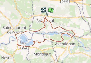

Length
10.8 km

Max alt
501 m

Uphill gradient
114 m
Km-Effort
12.3 km

Min alt
438 m

Downhill gradient
113 m
Boucle
Yes
Creation date :
2021-02-26 08:40:19.367
Updated on :
2021-02-28 17:19:48.241
4h50
Difficulty : Very easy

FREE GPS app for hiking
 SityTrail
IGN / Geographical institutes
SityTrail Plus
The world is yours!
About
Trail Walking of 10.8 km to be discovered at Occitania, Hautespyrenees, Saint-Paul. This trail is proposed by LouisROGER.
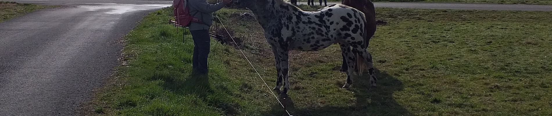
Photos


Positioning
Country:
France
Region :
Occitania
Department/Province :
Hautespyrenees
Municipality :
Saint-Paul
Location:
Unknown
Start:(Dec)
Start:(UTM)
297036 ; 4773091 (31T) N.
Comments