Trail Walking Miribel-Lanchâtre - Les crêtes de la Ferrière en circuit - Photo

Les crêtes de la Ferrière en circuit

 Emelle
Emelle

User

© OpenStreetMap contributors
Length
Length
11.5 km
Max alt
Max alt
1501 m
Uphill gradient
Uphill gradient
791 m
Km-Effort
Km-Effort  
22 km
Min alt
Min alt
719 m
Downhill gradient
Downhill gradient
791 m
Boucle
Boucle
Yes
Creation date :
2021-02-28 08:19:49.205
Updated on :
2021-03-03 12:48:16.119

(0 Reviews)

Walking
Walking
4h42
Difficulty : Medium

Scan this QR Code to open this trail in the SityTrail application

FREE GPS app for hiking

Logo SityTrail SityTrail

IGN / Geographical institutes

Download SityTrail from the App Store Download SityTrail from Google Play

Logo SityTrail SityTrail Plus

The world is yours!

Download SityTrail from the App Store Download SityTrail from Google Play Download SityTrail on Huawei AppGallery

About

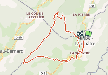
Trail Walking of 11.5 km to be discovered at Auvergne-Rhône-Alpes, Isère, Miribel-Lanchâtre. This trail is proposed by Emelle.

Description

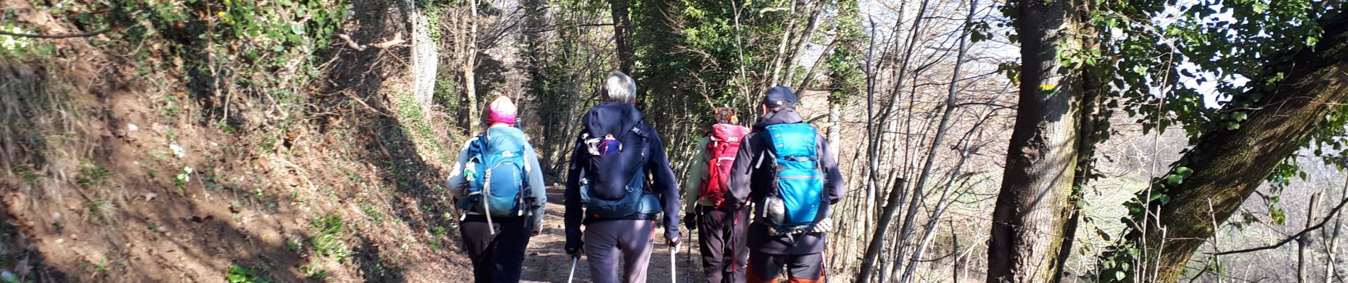
Très joli circuit sauvage et offrant de très beaux points de vue sur les massifs environnants à 360 °.
A refaire peut être aussi dans l'autre sens : le sens des aiguilles d'une montre pour changer. La montée par le nord est plus austère, la montée par le sud plus ensoleillée et ouverte sur le paysage.

Elevation profile

Photos

Positioning

Country:
France
Region :
Auvergne-Rhône-Alpes
Department/Province :
Isère
Municipality :
Miribel-Lanchâtre
Location:
Unknown
Start:(UTM)
706746 ; 4984059 (31T) N.


Close
My subscriptions