


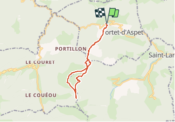


11.8 km | 18.7 km-effort

User


FREE GPS app for hiking
 SityTrail
IGN / Geographical institutes
SityTrail World
The world is yours!
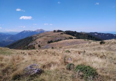
Trail Walking of 12.4 km to be discovered at Occitania, Haute-Garonne, Portet-d'Aspet. This trail is proposed by chrisgps.
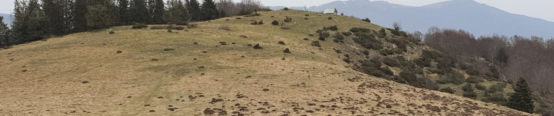
beau parcours et beau panorama


Mountain bike
Walking
Walking
Walking
Walking

Mountain bike

Walking

Walking
Walking