


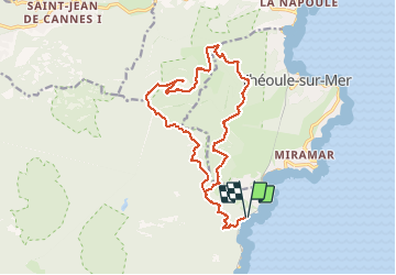
Trayas- Monges - Maure Viel - Mont St Martin

ETMU5496
User


4h44
Difficulty : Difficult

FREE GPS app for hiking
 SityTrail
IGN / Geographical institutes
SityTrail Plus
The world is yours!
About
Trail Walking of 19 km to be discovered at Provence-Alpes-Côte d'Azur, Var, Saint-Raphaël. This trail is proposed by ETMU5496.
Description
Départ gare du Trayas
Montée col ND, puis Trayas, puis Monges
Descente à Maure Vieil
Du pont Sarrazin, montée à l'oppidum du Mont St Martin
Regagner le col de la Cadière, puis lui e Notre Dame
Et redescendre à la gare du Trayas par le GR
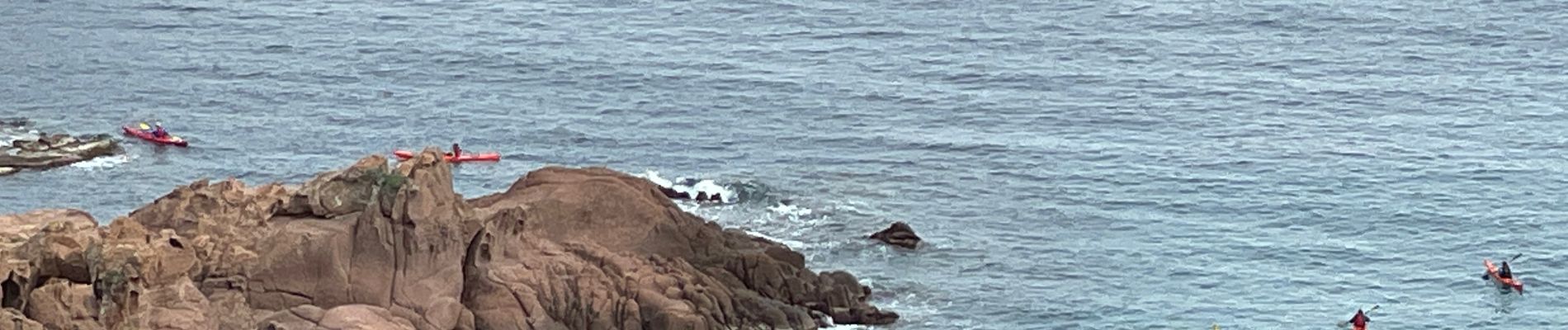
Photos


Positioning
Comments