


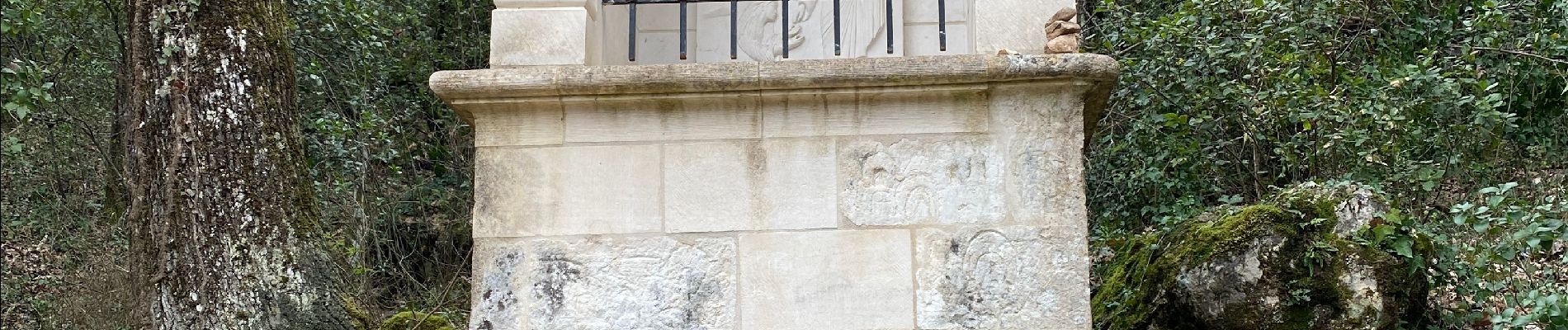
Source de l’huveaune

lenezdanslesetoiles
User
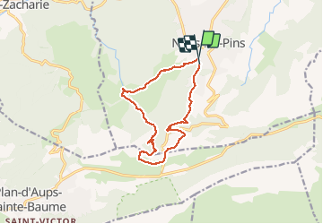

Length
13 km

Max alt
706 m

Uphill gradient
459 m
Km-Effort
19.2 km

Min alt
405 m

Downhill gradient
463 m
Boucle
Yes
Creation date :
2021-03-03 09:42:24.0
Updated on :
2021-03-03 15:09:00.324
4h45
Difficulty : Very easy

FREE GPS app for hiking
 SityTrail
IGN / Geographical institutes
SityTrail Plus
The world is yours!
About
Trail Walking of 13 km to be discovered at Provence-Alpes-Côte d'Azur, Var, Nans-les-Pins. This trail is proposed by lenezdanslesetoiles.
Description
Belle Rando en boucle
Photos


Positioning
Country:
France
Region :
Provence-Alpes-Côte d'Azur
Department/Province :
Var
Municipality :
Nans-les-Pins
Location:
Unknown
Start:(Dec)
Start:(UTM)
725270 ; 4805498 (31T) N.
Comments