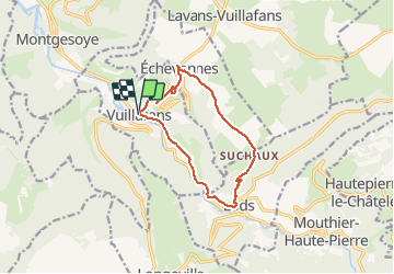
Trail Walking Vuillafans - vuillafans  - Photo
© OpenStreetMap contributors
Length
Length
11.1 km
Max alt
Max alt
707 m
Uphill gradient
Uphill gradient
458 m
Km-Effort
Km-Effort  
17.2 km
Min alt
Min alt
348 m
Downhill gradient
Downhill gradient
458 m
Boucle
Boucle
Yes
Creation date :
2021-03-05 08:49:07.787
Updated on :
2021-03-05 16:38:22.005

(2 Reviews)

Walking
Walking
1h46
Difficulty : Medium

Scan this QR Code to open this trail in the SityTrail application

FREE GPS app for hiking

Logo SityTrail SityTrail

IGN / Geographical institutes

Download SityTrail from the App Store Download SityTrail from Google Play

Logo SityTrail SityTrail Plus

The world is yours!

Download SityTrail from the App Store Download SityTrail from Google Play Download SityTrail on Huawei AppGallery

About

Trail Walking of 11.1 km to be discovered at Bourgogne-Franche-Comté, Doubs, Vuillafans. This trail is proposed by eltonnermou.

Description

rando classée difficulté : moyen, mais avec quelques passages difficiles.
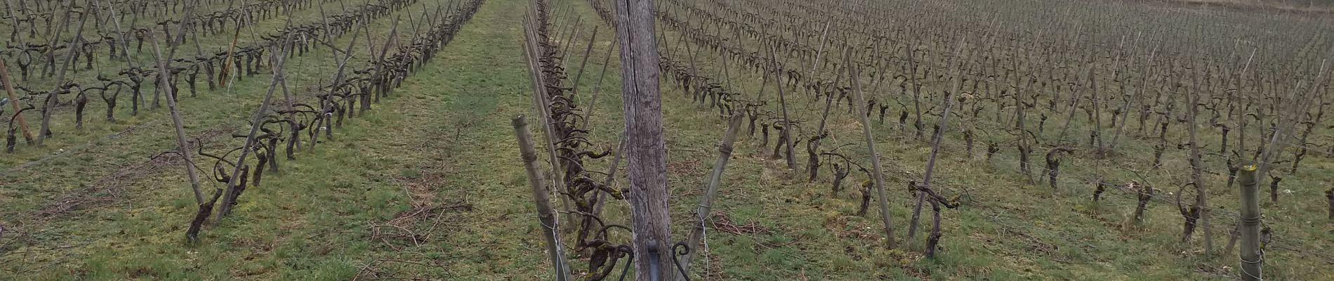
Belle randonnée offrant tous les plaisirs de la marche. Des paysages appréciables, des points de vue sur la vallée . Et tout le long du parcours, vous traversez l'espace de vie des chamois que vous pouvez surprendre (ou l'inverse).

Elevation profile

Photos

Positioning

Country:
France
Region :
Bourgogne-Franche-Comté
Department/Province :
Doubs
Municipality :
Vuillafans
Location:
Unknown
Start:(UTM)
288622 ; 5216129 (32T) N.

Comments

Please log in to post a review or rate the element


belle randonnée bien balisée avec un petit tronçon sur une route fréquentée


Close
My subscriptions