


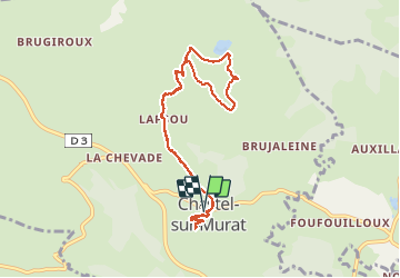

7.7 km | 10.5 km-effort

User


FREE GPS app for hiking
 SityTrail
IGN / Geographical institutes
SityTrail World
The world is yours!
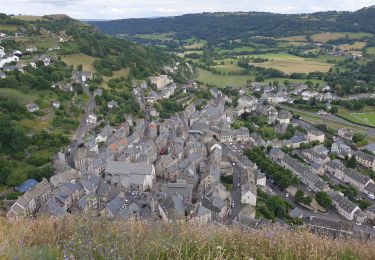
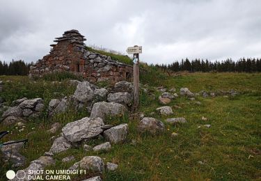
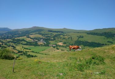
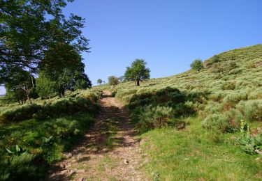
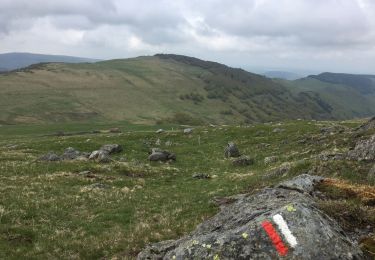
Trail Walking of 9.2 km to be discovered at Auvergne-Rhône-Alpes, Cantal, Murat. This trail is proposed by ilur56.
Visite d'une chapelle du XIIéme siècle et des tourbières de Chastelsur Murat et du sentier d'interprétation.


Walking

Walking

Horseback riding
Walking
Walking
Walking
Walking
Walking
Walking