


Gournier droite gauche

pb07
User

Length
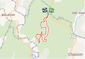
6.8 km

Max alt
242 m

Uphill gradient
140 m
Km-Effort
8.7 km

Min alt
173 m

Downhill gradient
140 m
Boucle
Yes
Creation date :
2021-03-06 13:00:17.371
Updated on :
2021-03-06 15:47:12.464
2h23
Difficulty : Medium

FREE GPS app for hiking
 SityTrail
IGN / Geographical institutes
SityTrail Plus
The world is yours!
About
Trail Walking of 6.8 km to be discovered at Auvergne-Rhône-Alpes, Ardèche, Chauzon. This trail is proposed by pb07.
Positioning
Country:
France
Region :
Auvergne-Rhône-Alpes
Department/Province :
Ardèche
Municipality :
Chauzon
Location:
Unknown
Start:(Dec)
Start:(UTM)
606464 ; 4928782 (31T) N.
Comments