


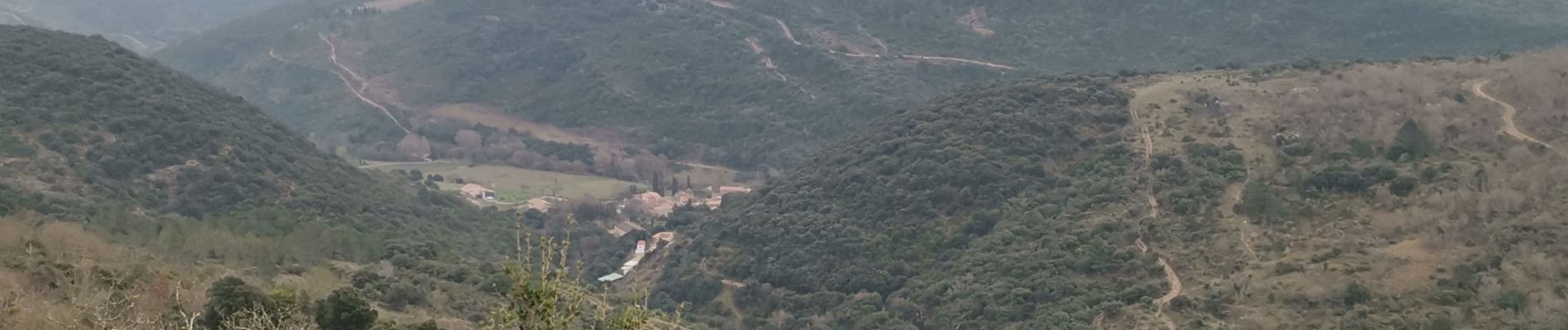
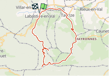
Labastide en val- Plateau Lacamp

Ada11
User GUIDE


5h04
Difficulty : Medium

FREE GPS app for hiking
 SityTrail
IGN / Geographical institutes
SityTrail Plus
The world is yours!
About
Trail Walking of 20 km to be discovered at Occitania, Aude, Labastide-en-Val. This trail is proposed by Ada11.
Description
De la piste sur 2/3 du trajet, mais un dernier tiers magnifique, peu après un beau point de vue pour le pique-nique à midi, au signal.
2 visites de petites grottes, avec pipistrelles sur la première, à ne pas déranger.
Un petit aller-retour pour aller voir un petit village, mais tentative ratée car sentier fermé, probablement privatisé.
Photos


Positioning
Comments