


Anthines - AS03 - Boucle de Tolumont - Losange Bleu

Alfredy
User GUIDE
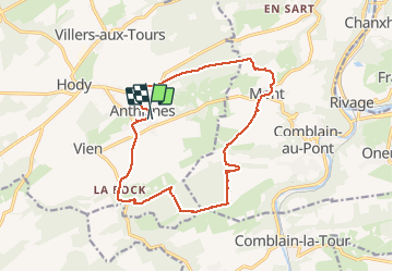

Length
13.9 km

Max alt
280 m

Uphill gradient
320 m
Km-Effort
18.2 km

Min alt
182 m

Downhill gradient
327 m
Boucle
Yes
Creation date :
2021-03-07 11:54:40.0
Updated on :
2021-03-08 10:35:24.681
2h56
Difficulty : Medium

FREE GPS app for hiking
 SityTrail
IGN / Geographical institutes
SityTrail Plus
The world is yours!
About
Trail Walking of 13.9 km to be discovered at Wallonia, Liège, Anthisnes. This trail is proposed by Alfredy.
Description
Suivez le balisage Losange Bleu.
Très agréable randonnée d'environ 3 heures.
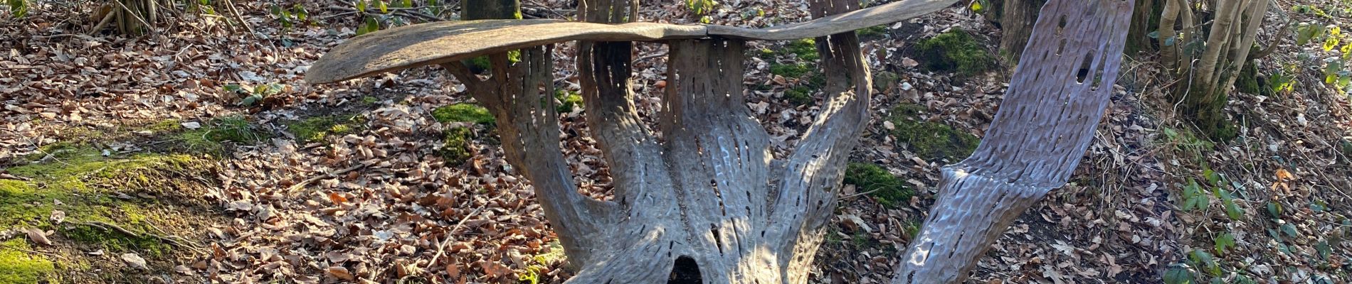
Photos


26 photos in total. Please click on a photo to see them all in the gallery.
Positioning
Country:
Belgium
Region :
Wallonia
Department/Province :
Liège
Municipality :
Anthisnes
Location:
Anthisnes
Start:(Dec)
Start:(UTM)
679100 ; 5595019 (31U) N.
Comments
Très belle rando et achat de miel au passage après sortie du village de Mont.