


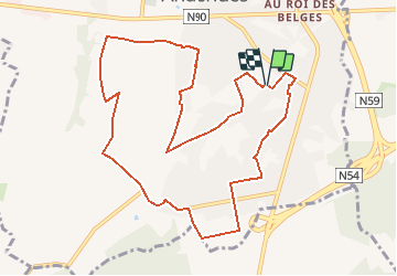
SityTrail - 6150-01-Anderlues-7.4km-41m
Nordic Sambre (énéoSport)
Tout seul, on va plus vite. Ensemble, on va plus loin !


--
Difficulty : Very easy

FREE GPS app for hiking
 SityTrail
IGN / Geographical institutes
SityTrail Plus
The world is yours!
About
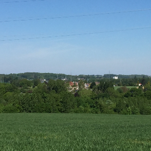
Trail Nordic walking of 10.4 km to be discovered at Wallonia, Hainaut, Anderlues. This trail is proposed by Nordic Sambre (énéoSport).
Description
énéoSport -Cercle Nordic Sambre (ESNS)
Sortie du groupe des lapins du 05/10/19
Randonnée préparée et guidée par Jacques Léonet
Point de départ/arrivée: Rue de Maubeuge (terrain de foot) Anderlues
Positioning
Comments