


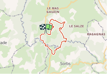

6 km | 7.6 km-effort


User


FREE GPS app for hiking
 SityTrail
IGN / Geographical institutes
SityTrail World
The world is yours!
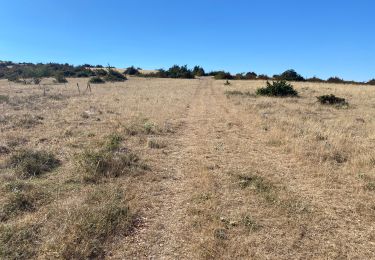
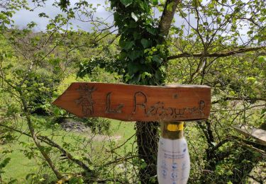
Trail Walking of 13.8 km to be discovered at Occitania, Gard, Campestre-et-Luc. This trail is proposed by grageot.
marche facile sur plateau bartasse dans gorge
Walking
Walking
Mountain bike

On foot
Walking

Walking

Mountain bike