


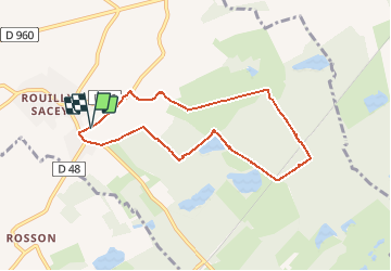

20 km | 24 km-effort


User


FREE GPS app for hiking
 SityTrail
IGN / Geographical institutes
SityTrail World
The world is yours!
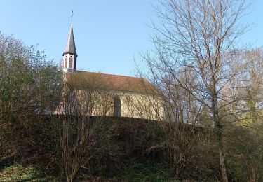
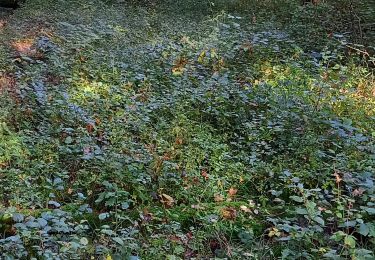
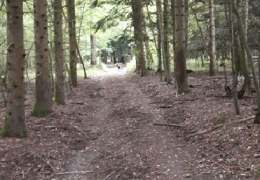
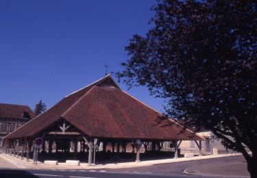
Trail Walking of 7.2 km to be discovered at Grand Est, Aube, Rouilly-Sacey. This trail is proposed by jacky rahir.

Walking
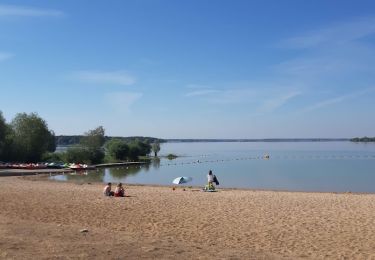
Walking
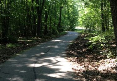
Walking
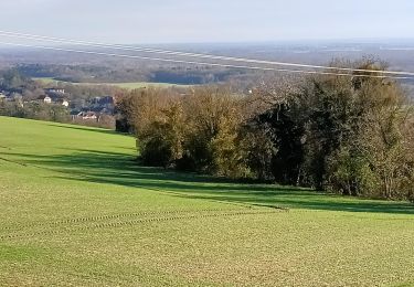
Walking
Walking
Walking
Cycle

Walking