


SAPENAY / CLERGEON: BESSINE - COL DU SAPENAY (crêt Brulin)

djeepee74
User
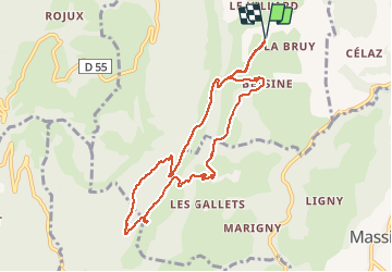

Length
9.1 km

Max alt
878 m

Uphill gradient
360 m
Km-Effort
13.9 km

Min alt
559 m

Downhill gradient
360 m
Boucle
Yes
Creation date :
2021-03-09 13:09:16.153
Updated on :
2021-03-10 16:33:55.538
2h45
Difficulty : Easy

FREE GPS app for hiking
 SityTrail
IGN / Geographical institutes
SityTrail Plus
The world is yours!
About
Trail Walking of 9.1 km to be discovered at Auvergne-Rhône-Alpes, Upper Savoy, Moye. This trail is proposed by djeepee74.
Description
BOUCLE live 20210309

Positioning
Country:
France
Region :
Auvergne-Rhône-Alpes
Department/Province :
Upper Savoy
Municipality :
Moye
Location:
Unknown
Start:(Dec)
Start:(UTM)
725203 ; 5081606 (31T) N.
Comments