


cascade

Strabidja
User
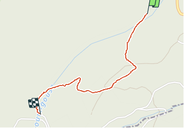

Length
1.4 km

Max alt
1220 m

Uphill gradient
3 m
Km-Effort
1.8 km

Min alt
1109 m

Downhill gradient
102 m
Boucle
No
Creation date :
2021-03-05 14:50:44.433
Updated on :
2021-03-09 17:46:18.494
22m
Difficulty : Very easy

FREE GPS app for hiking
 SityTrail
IGN / Geographical institutes
SityTrail Plus
The world is yours!
About
Trail Walking of 1.4 km to be discovered at Occitania, Aveyron, Curières. This trail is proposed by Strabidja.
Positioning
Country:
France
Region :
Occitania
Department/Province :
Aveyron
Municipality :
Curières
Location:
Unknown
Start:(Dec)
Start:(UTM)
494706 ; 4943984 (31T) N.
Comments