


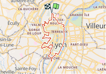
Croix Rousse-Perrache-Fourvière-Croix Rousse

VANDERPUTTENMi
User GUIDE

Length
18.5 km

Max alt
305 m

Uphill gradient
383 m
Km-Effort
24 km

Min alt
165 m

Downhill gradient
385 m
Boucle
Yes
Creation date :
2021-03-10 08:20:07.974
Updated on :
2021-03-10 15:39:59.979
4h57
Difficulty : Medium

FREE GPS app for hiking
 SityTrail
IGN / Geographical institutes
SityTrail Plus
The world is yours!
About
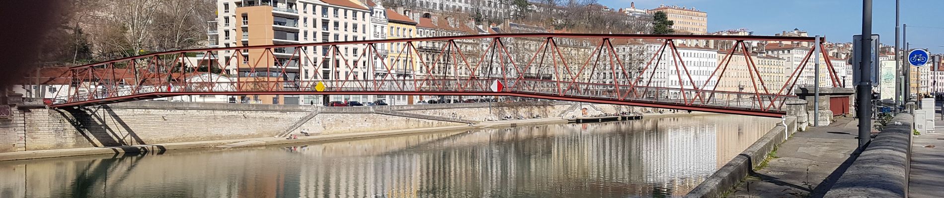
Trail Walking of 18.5 km to be discovered at Auvergne-Rhône-Alpes, Métropole de Lyon, Lyon. This trail is proposed by VANDERPUTTENMi.
Photos


Positioning
Country:
France
Region :
Auvergne-Rhône-Alpes
Department/Province :
Métropole de Lyon
Municipality :
Lyon
Location:
Lyon 4e Arrondissement
Start:(Dec)
Start:(UTM)
641764 ; 5071643 (31T) N.
Comments