


Saumane de Vaucluse

poisson1103
User
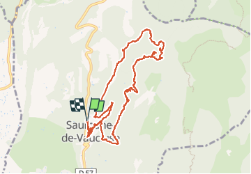

Length
11.7 km

Max alt
422 m

Uphill gradient
379 m
Km-Effort
16.8 km

Min alt
183 m

Downhill gradient
377 m
Boucle
Yes
Creation date :
2021-03-10 08:31:28.323
Updated on :
2022-05-22 06:30:13.84
5h40
Difficulty : Easy

FREE GPS app for hiking
 SityTrail
IGN / Geographical institutes
SityTrail Plus
The world is yours!
About
Trail Walking of 11.7 km to be discovered at Provence-Alpes-Côte d'Azur, Vaucluse, Saumane-de-Vaucluse. This trail is proposed by poisson1103.
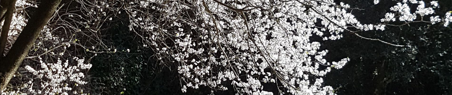
Photos


71 photos in total. Please click on a photo to see them all in the gallery.
Positioning
Country:
France
Region :
Provence-Alpes-Côte d'Azur
Department/Province :
Vaucluse
Municipality :
Saumane-de-Vaucluse
Location:
Unknown
Start:(Dec)
Start:(UTM)
668971 ; 4867126 (31T) N.
Comments