


20210310 Bayonne Blavet Forteresse 3

Sugg
User
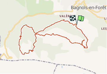

Length
11.9 km

Max alt
419 m

Uphill gradient
352 m
Km-Effort
16.6 km

Min alt
237 m

Downhill gradient
352 m
Boucle
Yes
Creation date :
2021-03-10 10:04:08.822
Updated on :
2021-03-10 15:24:16.001
5h19
Difficulty : Medium

FREE GPS app for hiking
 SityTrail
IGN / Geographical institutes
SityTrail Plus
The world is yours!
About
Trail Walking of 11.9 km to be discovered at Provence-Alpes-Côte d'Azur, Var, Bagnols-en-Forêt. This trail is proposed by Sugg.
Description
rando zamis
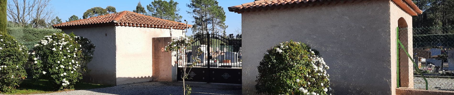
Photos


Positioning
Country:
France
Region :
Provence-Alpes-Côte d'Azur
Department/Province :
Var
Municipality :
Bagnols-en-Forêt
Location:
Unknown
Start:(Dec)
Start:(UTM)
313447 ; 4822273 (32T) N.
Comments