


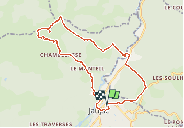

13.6 km | 23 km-effort

User


FREE GPS app for hiking
 SityTrail
IGN / Geographical institutes
SityTrail World
The world is yours!
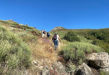
Trail Walking of 11.2 km to be discovered at Auvergne-Rhône-Alpes, Ardèche, Jaujac. This trail is proposed by himba26100.
gêne
Descente a revoir
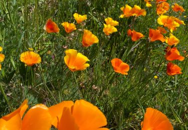
Sinon belle balade i7


Walking

Walking
Walking
Walking
Walking
Walking
Walking
Walking

Walking
le debut jusqu zu pic sympas. Mais la descente le trace jusqu a ka route 80 pour cent de sentier n existe pas. Je deconseille fortement de redescendre oar la. En plus quand on arrive a la route le trace passe par une propriété privée.