


z Palayson 12-03-21

cb8310
User

Length
5.4 km

Max alt
90 m

Uphill gradient
69 m
Km-Effort
6.3 km

Min alt
26 m

Downhill gradient
68 m
Boucle
Yes
Creation date :
2021-03-12 12:19:32.224
Updated on :
2021-03-14 07:10:18.626
1h49
Difficulty : Very easy

FREE GPS app for hiking
 SityTrail
IGN / Geographical institutes
SityTrail Plus
The world is yours!
About
Trail Walking of 5.4 km to be discovered at Provence-Alpes-Côte d'Azur, Var, Roquebrune-sur-Argens. This trail is proposed by cb8310.
Description
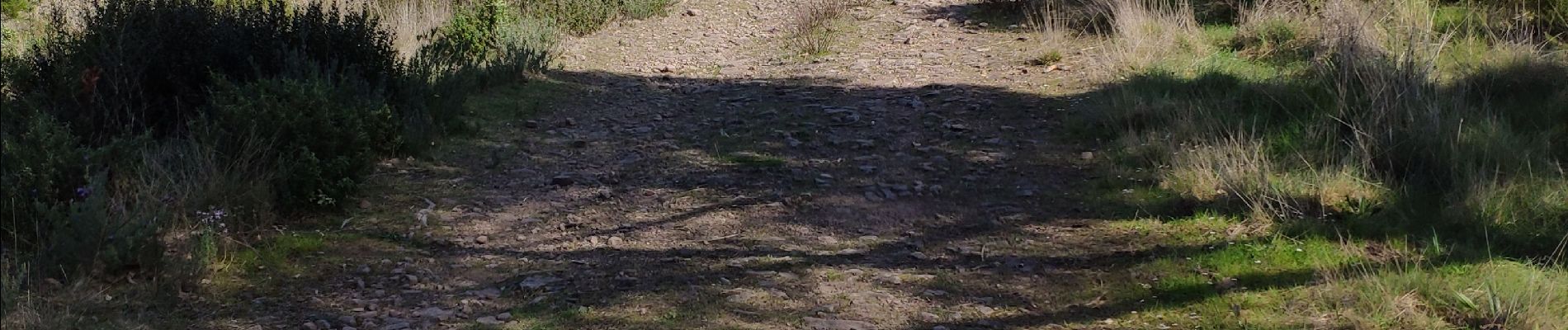
rando sans difficultés en parcourant de larges pistes
Photos

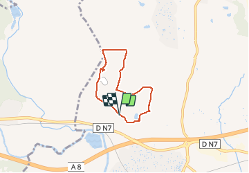
Positioning
Country:
France
Region :
Provence-Alpes-Côte d'Azur
Department/Province :
Var
Municipality :
Roquebrune-sur-Argens
Location:
Unknown
Start:(Dec)
Start:(UTM)
307438 ; 4815632 (32T) N.
Comments