


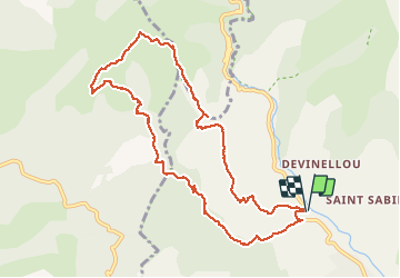

13.7 km | 26 km-effort

User


FREE GPS app for hiking
 SityTrail
IGN / Geographical institutes
SityTrail World
The world is yours!
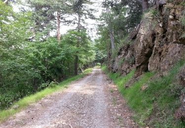
Trail Walking of 11 km to be discovered at Provence-Alpes-Côte d'Azur, Maritime Alps, Sospel. This trail is proposed by aris.
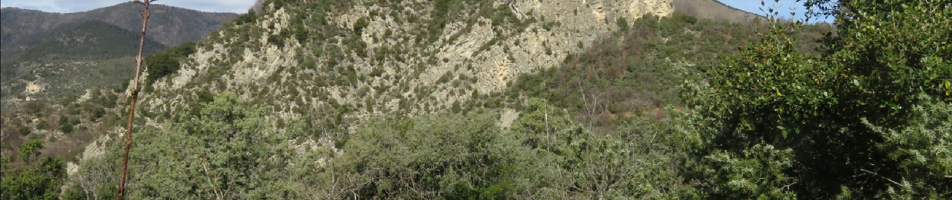
Circuit en boucle depuis la borne 55 (route Sospel-Moulinet). Une partie de sentier raide et peu tracé juste avant le sommet. La vue est panoramique : vallée de Sospel, crête du Mangiabo, cime du Diable. Une jolie balade tranquille et peu fréquentée.


On foot

On foot

On foot

Walking
On foot

Walking
Walking

Walking

Walking