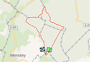
Trail Nordic walking Gredisans - Gredisans 7.8 km - Photo
 cmike39
cmike39

User

© OpenStreetMap contributors
Length
Length
7.8 km
Max alt
Max alt
358 m
Uphill gradient
Uphill gradient
132 m
Km-Effort
Km-Effort  
9.6 km
Min alt
Min alt
285 m
Downhill gradient
Downhill gradient
133 m
Boucle
Boucle
Yes
Creation date :
2017-11-19 00:00:00.0
Updated on :
2017-11-19 00:00:00.0

(0 Reviews)

Nordic walking
Nordic walking
1h30
Difficulty : Medium

Scan this QR Code to open this trail in the SityTrail application

FREE GPS app for hiking

Logo SityTrail SityTrail

IGN / Geographical institutes

Download SityTrail from the App Store Download SityTrail from Google Play

Logo SityTrail SityTrail Plus

The world is yours!

Download SityTrail from the App Store Download SityTrail from Google Play Download SityTrail on Huawei AppGallery

About

Trail Nordic walking of 7.8 km to be discovered at Bourgogne-Franche-Comté, Jura, Gredisans. This trail is proposed by cmike39.

Description

A reprendre pour validation marche nordique.
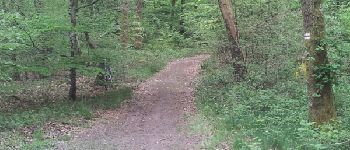
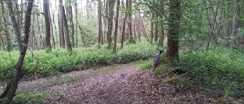
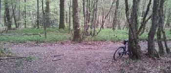
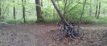
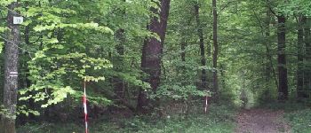
Elevation profile

Photos

Points of interest

Point of interest Menotey - Point 3 - Photo
cmike39
MENOTEY 
Point of interest Moissey - Point 4  - Photo
cmike39
MOISSEY 
Point of interest Moissey - Point 5 - Photo
cmike39
MOISSEY 
Point of interest Moissey - Point 6 - Photo
cmike39
MOISSEY 
Point of interest Archelange - Point 7 - Photo
cmike39
ARCHELANGE 

Positioning

Country:
France
Region :
Bourgogne-Franche-Comté
Department/Province :
Jura
Municipality :
Gredisans
Location:
Unknown
Start:(UTM)
690809 ; 5226253 (31T) N.


Close
My subscriptions