Trail On foot Méounes-lès-Montrieux - 2021-03-15_19h03m54_2021-03-15 091-meounes-montrieux - Photo

2021-03-15_19h03m54_2021-03-15 091-meounes-montrieux

© OpenStreetMap contributors
Length
Length
15.3 km
Max alt
Max alt
630 m
Uphill gradient
Uphill gradient
500 m
Km-Effort
Km-Effort  
22 km
Min alt
Min alt
227 m
Downhill gradient
Downhill gradient
513 m
Boucle
Boucle
Yes
Creation date :
2021-03-15 18:03:55.255
Updated on :
2021-03-16 10:03:51.643

(0 Reviews)

On foot
On foot
5h00
Difficulty : Medium

Scan this QR Code to open this trail in the SityTrail application

FREE GPS app for hiking

Logo SityTrail SityTrail

IGN / Geographical institutes

Download SityTrail from the App Store Download SityTrail from Google Play

Logo SityTrail SityTrail Plus

The world is yours!

Download SityTrail from the App Store Download SityTrail from Google Play Download SityTrail on Huawei AppGallery

About

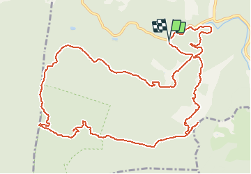
Trail On foot of 15.3 km to be discovered at Provence-Alpes-Côte d'Azur, Var, Méounes-lès-Montrieux. This trail is proposed by cdanielrando.

Description

Beau circuit qui ne présente pas de difficulté, il faut bien suivre la trace entre le km 12.5 et le km 13. En effet, ce tronçon se fait sur un mauvais sentier rarement emprunté et donc pas très visible mais la végétation n'est pas dense et la circulation est assez facile.
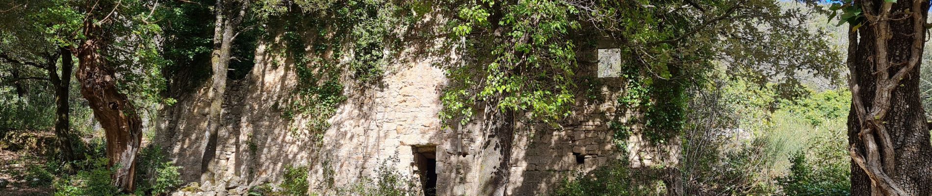
Elevation profile

Photos

Positioning

Country:
France
Region :
Provence-Alpes-Côte d'Azur
Department/Province :
Var
Municipality :
Méounes-lès-Montrieux
Location:
Unknown
Start:(UTM)
740518 ; 4794270 (31T) N.


Close
My subscriptions