


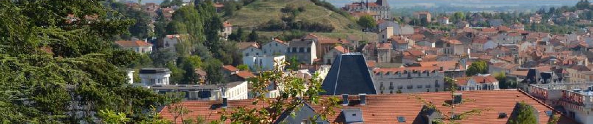
Chatel_Cote_Ronde_Percieres

jagarnier
User GUIDE
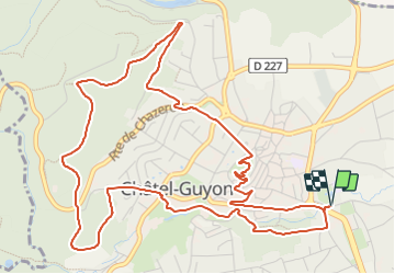


2h15
Difficulty : Easy

FREE GPS app for hiking
 SityTrail
IGN / Geographical institutes
SityTrail Plus
The world is yours!
About
Trail Walking of 7 km to be discovered at Auvergne-Rhône-Alpes, Puy-de-Dôme, Châtel-Guyon. This trail is proposed by jagarnier.
Description
Cette agréable randonnée s'élève en sous-bois au dessus de Chatel-Guyon par un arboretum. Le retour favorise la visite de la petite ville avec une architecture autour de l'eau (Thermes) et du vin (Village vigneron).
Photos

Positioning
Comments