


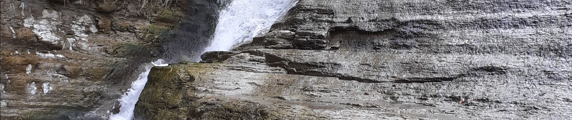
la Claduegne cascades 07

cousam
User


Length
4.8 km

Max alt
577 m

Uphill gradient
149 m
Km-Effort
6.8 km

Min alt
455 m

Downhill gradient
152 m
Boucle
Yes
Creation date :
2021-03-17 08:01:48.039
Updated on :
2021-04-13 16:53:49.835
3h23
Difficulty : Difficult

FREE GPS app for hiking
 SityTrail
IGN / Geographical institutes
SityTrail Plus
The world is yours!
About
Trail Walking of 4.8 km to be discovered at Auvergne-Rhône-Alpes, Ardèche, Saint-Gineys-en-Coiron. This trail is proposed by cousam.
Description
Boucle sympa des cascades de la Claduègne, très hard ,surtout en Mars ,rochers glissants (prévoir corde)
Photos


Positioning
Country:
France
Region :
Auvergne-Rhône-Alpes
Department/Province :
Ardèche
Municipality :
Saint-Gineys-en-Coiron
Location:
Unknown
Start:(Dec)
Start:(UTM)
622331 ; 4942357 (31T) N.
Comments