


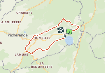
Boucle lac chauvet (rénover )o

zefreefly
User

Length
14.1 km

Max alt
1204 m

Uphill gradient
256 m
Km-Effort
17.5 km

Min alt
1037 m

Downhill gradient
268 m
Boucle
Yes
Creation date :
2021-03-17 08:29:52.0
Updated on :
2021-03-17 13:30:46.812
4h58
Difficulty : Easy

FREE GPS app for hiking
 SityTrail
IGN / Geographical institutes
SityTrail Plus
The world is yours!
About
Trail Walking of 14.1 km to be discovered at Auvergne-Rhône-Alpes, Puy-de-Dôme, Picherande. This trail is proposed by zefreefly.
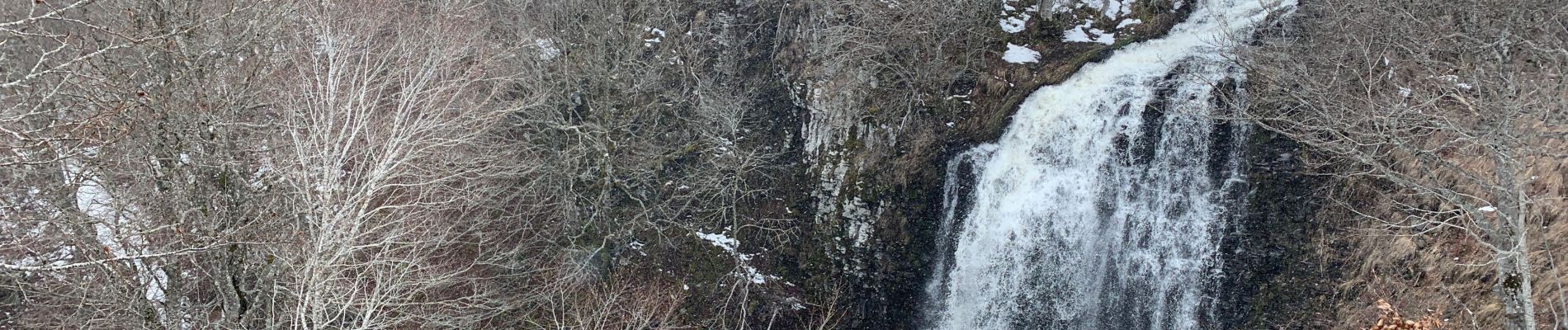
Photos
o - Photo 1")
o - Photo 2")
o - Photo 3")
o - Photo 4")
o - Photo 5")
o - Photo 6")
o - Photo 7")
o - Photo 8")
o - Photo 9")
o - Photo 10")
o - Photo 11")
o - Photo 12")
o - Photo 13")
o - Photo 14")
o - Photo 15")
Positioning
Country:
France
Region :
Auvergne-Rhône-Alpes
Department/Province :
Puy-de-Dôme
Municipality :
Picherande
Location:
Unknown
Start:(Dec)
Start:(UTM)
486384 ; 5034281 (31T) N.
Comments