


07 mirabel

randodyssée
User GUIDE


Length
6.3 km

Max alt
580 m

Uphill gradient
168 m
Km-Effort
8.6 km

Min alt
470 m

Downhill gradient
174 m
Boucle
Yes
Creation date :
2021-03-17 12:28:27.321
Updated on :
2021-03-17 17:41:32.946
2h05
Difficulty : Easy

FREE GPS app for hiking
 SityTrail
IGN / Geographical institutes
SityTrail Plus
The world is yours!
About
Trail Walking of 6.3 km to be discovered at Auvergne-Rhône-Alpes, Ardèche, Mirabel. This trail is proposed by randodyssée.
Description
jp gêne
17 03 2021
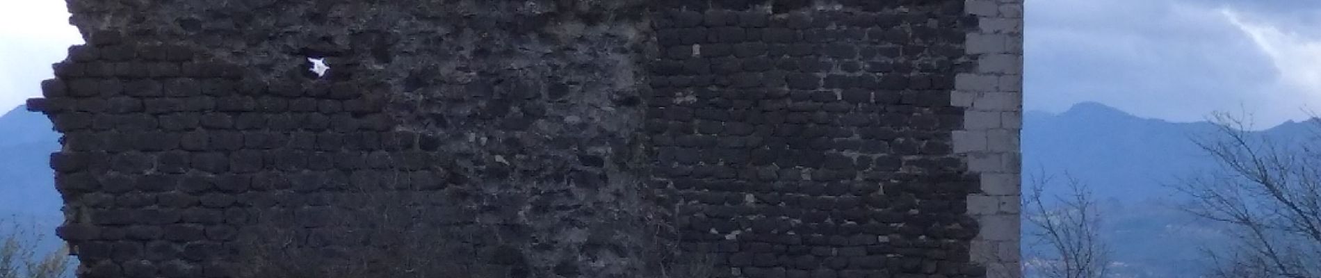
Photos


Positioning
Country:
France
Region :
Auvergne-Rhône-Alpes
Department/Province :
Ardèche
Municipality :
Mirabel
Location:
Unknown
Start:(Dec)
Start:(UTM)
618975 ; 4940519 (31T) N.
Comments