


JFT YB Etape1 27-4-2014

jeff2
User

Length
26 km

Max alt
106 m

Uphill gradient
253 m
Km-Effort
30 km

Min alt
47 m

Downhill gradient
208 m
Boucle
No
Creation date :
2014-12-10 00:00:00.0
Updated on :
2014-12-10 00:00:00.0
5h46
Difficulty : Medium

FREE GPS app for hiking
 SityTrail
IGN / Geographical institutes
SityTrail Plus
The world is yours!
About
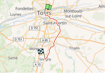
Trail Walking of 26 km to be discovered at Centre-Loire Valley, Indre-et-Loire, Tours. This trail is proposed by jeff2.
Description
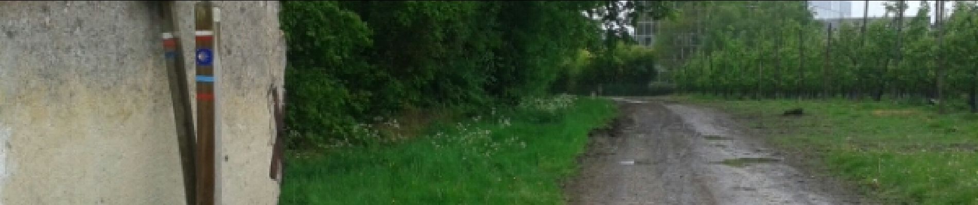
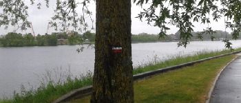
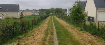
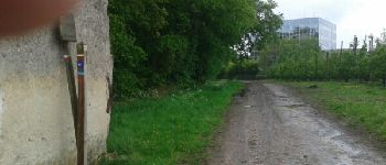
Tours Sorigny
Photos


Positioning
Country:
France
Region :
Centre-Loire Valley
Department/Province :
Indre-et-Loire
Municipality :
Tours
Location:
Unknown
Start:(Dec)
Start:(UTM)
325784 ; 5250749 (31T) N.
Comments